- Kratek opis
-
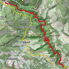
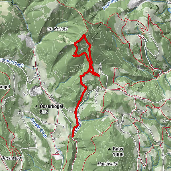
The hike starts at the "Die Hand" parking lot/junction and leads to the Hoher Zetz.
- Težavnost
-
srednja
- Ocenjevanje
-
- Pot
-
Wittgruberhof2,8 kmHoher Zetz (1.264 m)4,3 km
- Najboljša sezona
-
janfebmaraprmajjunjulavgsepoktnovdec
- Najvišja točka
- 1.255 m
- Destinacija
-
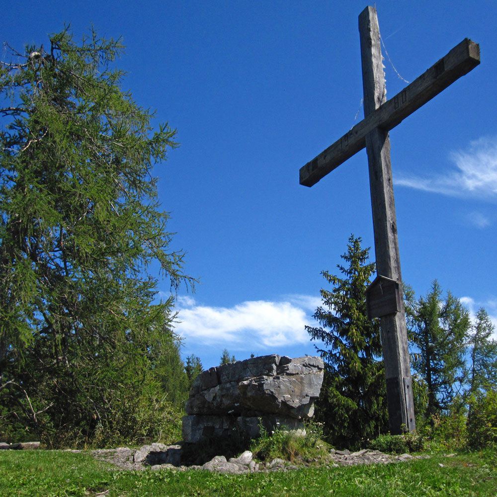
Zetz cross
- Profil nadmorske višine
-


-

-
AvtorTurneja Zetzweg on "The Hand“, Thannhausen uporablja outdooractive.com na spletni strani ..
GPS Downloads


Splošne informacije
Postanek za osvežitev
Obetavno
Več izletov v regijah
-
Oststeiermark
2126
-
Weiz/St. Ruprecht an der Raab
1521
-
Thannhausen
325